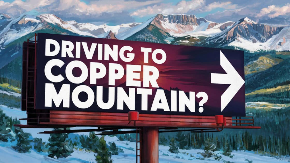
Driving to Copper Mountain
Copper Mountain is a world-class ski destination that attracts many visitors from far and wide. If you’re planning a trip to Copper, you might be thinking about driving there from one of the nearby airports or even from another ski resort town. While driving to Copper Mountain offers the freedom to explore at your own pace and take in the stunning mountain scenery, it also comes with some considerable challenges, especially during the winter months.
At Blue Sky Limo, we’ve navigated the roads to and from Copper Mountain countless times, and our experienced drivers know all the various routes and local road conditions. In this guide, we’ll walk you through the most popular driving routes to Copper Mountain, provide step-by-step directions, and share some valuable tips to ensure your journey is as smooth, safe, and enjoyable as possible.
Why Drive to Copper Mountain?
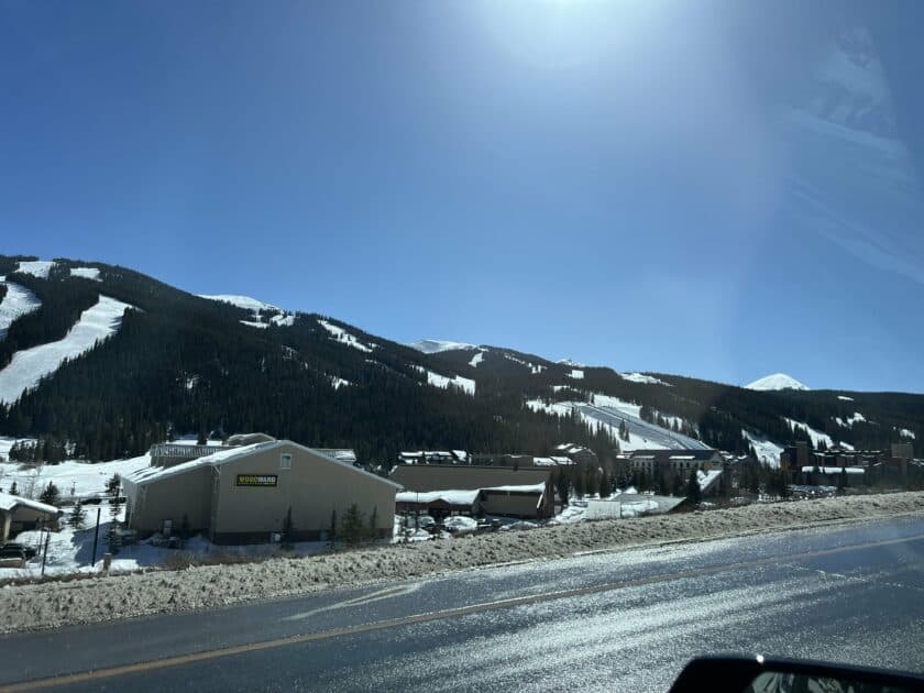
Driving to Copper Mountain is an adventure in itself. Winding through the Rockies, you’ll be treated to breathtaking sights of snow-capped peaks, pristine forests, and charming mountain towns. Having your own car allows you to stop and explore whenever and wherever you want, whether to snap a photo of a particularly stunning view, grab a bite to eat at a local café, or simply stretch your legs by taking a stroll through a charming mountain town on your way to Copper.
Choosing the Best Time to Drive
When planning your road trip to Copper Mountain, timing is everything. Here’s what you can expect in each season:
| Season | Months | Description |
|---|---|---|
| Summer | June-August | With warm temperatures and long daylight hours, summer is a great time to drive to Copper Mountain. However, it’s also the busiest season, so expect higher prices and more traffic on the roads. |
| Fall | September-November | Fall offers a perfect balance of mild weather, thinner crowds, and affordable prices. Keep in mind that the weather can be unpredictable, with the possibility of early snowfall. |
| Winter | December-March | If you’re coming to Copper Mountain to ski or snowboard, winter is the time to do it. Just be prepared for challenging driving conditions, with snow and ice on the roads. |
| Spring | April-May | Spring is a shoulder season, with ski resorts often staying open until mid-April. The weather can be a mix of sunny days and late-season snowstorms, and crowds are generally smaller. |
Routes to Copper Mountain
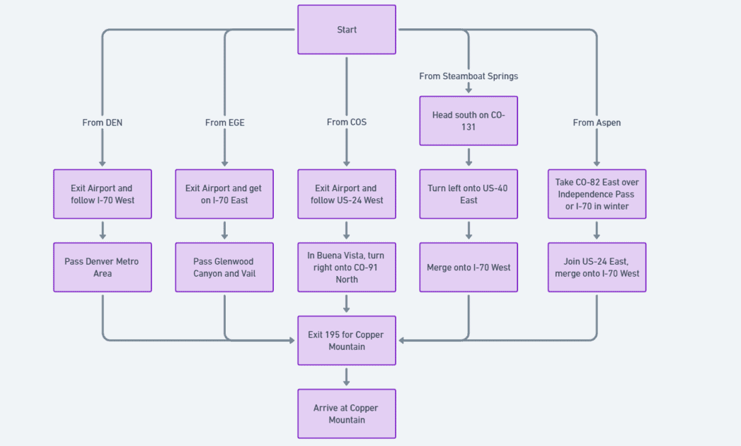
Depending on where you’re starting from, there are several routes you can take to get to Copper Mountain. Here are the most common starting points, along with distances and estimated drive times:
| Starting Point | Distance (miles) | Estimated Drive Time |
|---|---|---|
| Denver International Airport (DEN) | 100 | 1 hour 45 minutes |
| Eagle County Regional Airport (EGE) | 55 | 1 hour |
| Colorado Springs Airport (COS) | 155 | 2 hours 40 minutes |
| Steamboat Springs | 113 | 2 hours |
| Aspen | 163 | 3 hours |
From Denver International Airport (DEN)
Denver International Airport is the primary gateway for out-of-state visitors coming to Copper Mountain. The drive from DEN to the Copper is approximately 100 miles and takes around 1 hour and 45 minutes in good conditions. This route is the most direct and heavily traveled, making it a convenient choice for those arriving by plane. You’ll start by heading west on I-70, the main east-west interstate through Colorado’s mountains. The drive takes you through the Denver metro area and into the foothills, gradually climbing in elevation as you near the Continental Divide. Along the way, you’ll pass several other popular ski resorts like Winter Park and Breckenridge, as well as historic mountain towns that offer a glimpse into Colorado’s mining and frontier past.
Route Directions:
- Exit the airport and follow signs for I-70 West towards Grand Junction.
- Stay on I-70 West for approximately 60 miles, passing through the Denver metro area and into the foothills of the Rockies.
- Take Exit 195 for Copper Mountain.
Insider Tips:
- Before setting out, check road conditions on cotrip.org and allow extra time during snowstorms, especially when going over Vail Pass, which is prone to closures.
- About halfway to Copper Mountain, consider stopping in Idaho Springs for a soak in the hot springs pool or a tour of a historic gold mine.
- Gas up in Denver, as prices along I-70 in the mountains tend to be significantly higher.
From Eagle County Regional Airport (EGE)
Eagle County Regional Airport is your best bet if you’re looking to hit the slopes as quickly as possible. Located just 55 miles from Copper Mountain, the Eagle Airport to Copper Mountain drive takes approximately 1 hour. This route is ideal for those who want to minimize their travel time and maximize their skiing or snowboarding. This small regional airport is surrounded by the snow-capped peaks of the Rocky Mountains, and flying into Eagle Airport is a breathtaking and exhilarating experience. From here, as you head east on I-70, you’ll climb up through Glenwood Canyon, an incredible stretch of highway that winds its way along the Colorado River. From there, it’s a straightforward drive past the resort town of Vail and over the Vail Pass straight to Copper Mountain.
Route Directions:
- Exit the airport and get on I-70 East.
- Follow I-70 East for about 55 miles.
- Take Exit 195 for Copper Mountain.
Insider Tips:
- Eagle Airport is much smaller and easier to navigate than DEN, making for a stress-free start to your trip.
- For a taste of local flavor, stop in the town of Edwards, about 15 minutes west of Vail, for dining and shopping just off I-70.
- If you have time for a scenic detour, take US-24 south at Minturn to the historic mining town of Leadville before looping back to Copper Mountain.
From Colorado Springs Airport (COS)
Coming from the south? Colorado Springs Airport is located approximately 155 miles from Copper Mountain, with an estimated drive time of around 2 hours and 40 minutes. This route offers a chance to explore a different side of the Rockies, taking you through the rolling hills and ranchlands of South Park before climbing up to the high country. You’ll start by heading west on US-24, a scenic byway that traces the old Colorado Midland Railroad route. After passing through the charming mountain town of Buena Vista, you’ll turn north onto CO-91, which winds its way through the Arkansas River Valley before ascending to Fremont Pass and Copper Mountain.
Route Directions:
- Exit the airport and follow signs for US-24 West towards Woodland Park.
- Stay on US-24 West for approximately 65 miles until you reach Buena Vista.
- In Buena Vista, turn right onto CO-91 North and follow it to Copper Mountain.
Insider Tips:
- This route takes you through the picturesque Arkansas River Valley, where you might spot bighorn sheep and dramatic 14,000-foot peaks.
- Just west of Buena Vista, take a detour to St. Elmo, one of Colorado’s best-preserved ghost towns.
- The final stretch on CO-91 parallels the old Denver South Park & Pacific Railroad route – keep an eye out for historic tunnels and snow sheds.
From Steamboat Springs
Steamboat Springs, a ski town in its own right, is located 113 miles from Copper Mountain. The drive takes around 2 hours. This route offers a chance to experience the diversity of Colorado’s mountain landscapes, from the Yampa Valley’s rolling ranchlands to the Gore Range’s rugged peaks. You’ll start by heading south on CO-131, a scenic highway that winds its way through the ranches and hay meadows surrounding Steamboat Springs. After joining US-40, you’ll climb up and over Rabbit Ears Pass, named for its distinctive rock formations that resemble a rabbit’s ears. From there, it’s a straightforward drive along the Colorado River to I-70 and Copper Mountain.
Route Directions:
- Head south on CO-131 for 37 miles.
- Turn left onto US-40 East and follow it for 54 miles.
- Merge onto I-70 West and drive 22 miles to Exit 195 for Copper Mountain.
Insider Tips:
- This route goes over Rabbit Ears Pass, which can be treacherous in winter storms. Make sure you have proper tires and check conditions before setting out.
- Near Kremmling, take a quick detour to State Bridge to see one of the few remaining wooden bridges over the Colorado River.
- Don’t miss the scenic overlook just west of the Eisenhower Tunnel for panoramic views of the Continental Divide.
From Aspen
If you’re coming from Aspen, you’re in for a scenic 163-mile drive that takes around 3 hours. This route is a true Rocky Mountain adventure, taking you over the Continental Divide and through some of Colorado’s most iconic mountain landscapes. In the summer, you’ll start by heading east on CO-82 over Independence Pass, a breathtaking journey that crosses the Divide at 12,095 feet and offers stunning views of the Elk Mountains. After descending into the Arkansas River Valley, you’ll join US-24 and eventually merge onto I-70 for the final stretch to Copper Mountain. When Independence Pass is closed in the winter, you’ll take I-70 the whole way, a slightly longer but safer route that still offers plenty of scenic vistas.
Route Directions:
- Take CO-82 East over Independence Pass (note: this pass is closed in winter).
- Join US-24 East, then merge onto I-70 West.
- Take Exit 195 for Copper Mountain.
Insider Tips:
- In summer, the drive over Independence Pass is one of the most scenic in Colorado, crossing the Continental Divide at 12,095 feet.
- Allow extra time to stop at the Devil’s Punchbowl and Grottos Trail just east of Aspen for short hikes to unique water features.
- During the winter months, take I-70 the whole way. It’s 36 miles longer but much faster and safer than the closed pass.
Staying Safe on the Road to Copper
No matter which route you choose, staying informed about road conditions and weather forecasts is crucial. The Colorado Department of Transportation (CDOT) offers several resources to help you stay up-to-date:
- COtrip.org is a website that provides real-time traffic information, road conditions, and live camera feeds from across the state.
- CDOT Mobile App: This free app allows you to access real-time traffic, road conditions, and alerts on your mobile device.
- CDOT Twitter: Follow @ColoradoDOT for updates on road conditions, closures, and incidents.
Let Blue Sky Limo Do the Driving
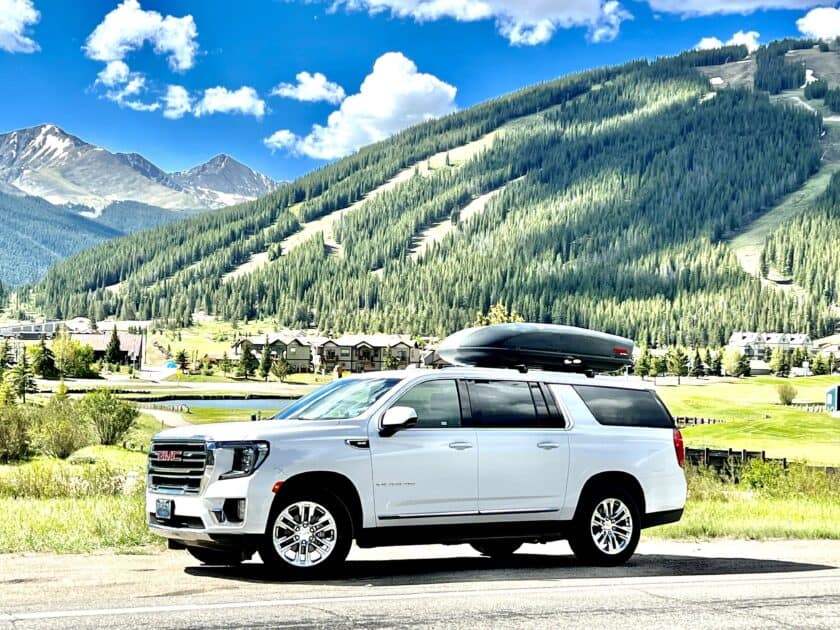
If the thought of navigating mountain roads in winter weather seems daunting, or if you just want to sit back and soak in the scenic views, Blue Sky Limo is here to help. Our experienced local drivers know these routes like the back of their hand, and we’re committed to getting you to Copper Mountain safely and comfortably in one of our well-appointed vehicles.
Whether you’re coming from Denver, Eagle Airport, or any other starting point, Blue Sky Limo offers a range of Colorado airport transportation options to suit your needs and budget. From private car service to group shuttles, we’ve got you covered.
When you choose Blue Sky Limo, you can leave the driving to us and focus on enjoying your Copper Mountain getaway. Our knowledgeable staff is always happy to help you plan your trip, answer any questions, and provide insider tips to make the most of your visit.
So why worry about driving to Copper Mountain? Book your transportation with Blue Sky Limo today and start looking forward to a stress-free, unforgettable Rocky Mountain adventure!
