

Colorado Road Conditions & Travel Advisories
Colorado Active Travel Advisories
1 Active- CHAIN LAWS Colorado Chain and Traction Laws are in effect (Sept 1 - May 31) on major mountain routes including I-70, US-6, US-40, CO-9, US-50, US-160, US-285, CO-91, and US-550. All vehicles require AWD/4WD with M+S tires (3/16" tread min) or chains; commercial vehicles must carry chains. View requirements →
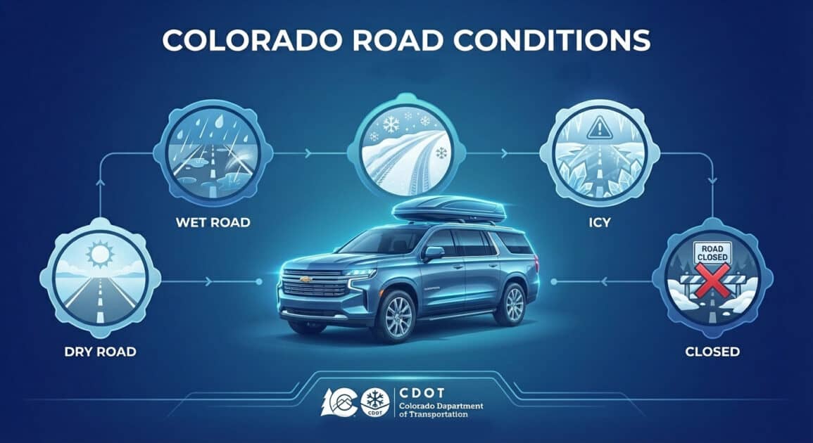
Colorado road conditions can shift quickly in the high country. This hub provides current summaries for major corridors and passes, with links to full live reports and traffic camera details.
Quick Navigation:
I-70 Westbound | Vail Pass | Eisenhower Tunnel | Loveland Pass | Berthoud Pass | Glenwood Canyon | Independence Pass | Hoosier Pass | Monarch Pass | Kenosha Pass | Wolf Creek Pass | Rabbit Ears Pass | Fremont Pass | Red Mountain Pass


I-70 Mountain Corridor Current Conditions: CAUTION (Wet pavement)
- Mountain Express Lane: EB Closed | WB Closed
- Traction Law in effect (Sept 1 - May 31): Passenger vehicles require AWD/4WD with adequate tread OR chains.
- CAUTION - Wet Pavement
- Speed Advisory: 60 MPH
- Expect Delays Vail Pass MP 180-190
Real-time status updates for Colorado’s primary east-west mountain corridor. I-70 conditions can change fast with storms, chain laws, and traffic backups between Denver and Eagle County.
See Full I-70 Mountain Corridor Report ⟶Vail Pass Current Conditions: OPEN (Open / Dry)
- Traction Law in effect (Sept 1 - May 31): Passenger vehicles require AWD/4WD with adequate tread OR chains.
- Speed Advisory: 60 MPH
Vail Pass sits at 10,662 feet on I-70 between Eagle and Summit counties. High winds and heavy snow frequently impact travel over this stretch.
See Full Vail Pass Status Report ⟶Eisenhower Tunnel Current Conditions: OPEN (Open / Dry)
- Traction Law in effect (Sept 1 - May 31): Passenger vehicles require AWD/4WD with adequate tread OR chains.
- Speed Advisory: 60 MPH
The Eisenhower Edwin C. Johnson Memorial Tunnel carries I-70 under the Continental Divide about 60 miles west of Denver. Incidents or closures here can affect the entire corridor.
See Full Eisenhower Tunnel Status Report ⟶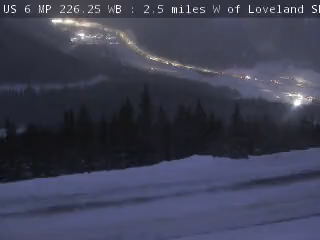
Loveland Pass (US-6) Current Conditions: OPEN (Open / Dry)
- Traction Law in effect (Sept 1 - May 31): Passenger vehicles require AWD/4WD with adequate tread OR chains.
Loveland Pass is a high-altitude US-6 crossing at 11,990 feet and a common alternate route when the I-70 tunnel is restricted. Expect wind and rapidly changing visibility.
See Full Loveland Pass Status Report ⟶
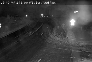
Berthoud Pass (US-40) Current Conditions: OPEN (Open / Dry)
- Traction Law in effect (Sept 1 - May 31): Passenger vehicles require AWD/4WD with adequate tread OR chains.
Berthoud Pass is a Front Range crossing on US-40 between Empire and Winter Park. Steep grades and winter storms make conditions highly variable.
See Full Berthoud Pass Status Report ⟶
Glenwood Canyon Current Conditions: OPEN (Open / Dry)
- Traction Law in effect (Sept 1 - May 31): Passenger vehicles require AWD/4WD with adequate tread OR chains.
- Speed Advisory: 60 MPH
Glenwood Canyon is a scenic 12.5-mile stretch of I-70 along the Colorado River. Rockfall, mudslides, and weather can trigger sudden closures.
See Full Glenwood Canyon Status Report ⟶
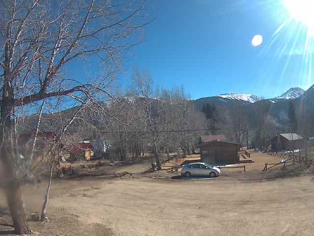
Independence Pass (CO-82) Current Conditions: CLOSED (Seasonally Closed)
- Traction Law in effect (Sept 1 - May 31): Passenger vehicles require AWD/4WD with adequate tread OR chains.
Independence Pass reaches 12,095 feet on CO-82 between Aspen and Twin Lakes. It closes seasonally in winter and reopens when conditions allow.
See Full Independence Pass Status Report ⟶

Hoosier Pass (CO-9) Current Conditions: CAUTION (Wet pavement)
- Traction Law in effect (Sept 1 - May 31): Passenger vehicles require AWD/4WD with adequate tread OR chains.
- CAUTION - Wet Pavement
Hoosier Pass is a high mountain crossing on CO-9 between Breckenridge and Fairplay at roughly 11,542 feet. Wind and snow can create quick changes in driving conditions.
See Full Hoosier Pass Status Report ⟶

Monarch Pass (US-50) Current Conditions: OPEN (Open / Dry)
- Traction Law in effect (Sept 1 - May 31): Passenger vehicles require AWD/4WD with adequate tread OR chains.
Monarch Pass is a high-elevation US-50 crossing over the Continental Divide between Sargents and Poncha Springs. Snow squalls and strong wind can rapidly change visibility and road surface conditions.
See Full Monarch Pass Status Report ⟶

Kenosha Pass (US-285) Current Conditions: OPEN (Open / Dry)
- Traction Law in effect (Sept 1 - May 31): Passenger vehicles require AWD/4WD with adequate tread OR chains.
Kenosha Pass on US-285 connects Jefferson and Grant and is a key South Park route. Winter weather and crosswinds can quickly change traction and travel speeds.
See Full Kenosha Pass Status Report ⟶

Wolf Creek Pass (US-160) Current Conditions: OPEN (Open / Dry)
- Traction Law in effect (Sept 1 - May 31): Passenger vehicles require AWD/4WD with adequate tread OR chains.
Wolf Creek Pass on US-160 is one of southern Colorado’s highest-impact winter routes between Pagosa Springs and South Fork. Heavy snowfall and whiteout periods can produce frequent delays and restrictions.
See Full Wolf Creek Pass Status Report ⟶

Rabbit Ears Pass (US-40) Current Conditions: OPEN (Open / Dry)
- Traction Law in effect (Sept 1 - May 31): Passenger vehicles require AWD/4WD with adequate tread OR chains.
Rabbit Ears Pass on US-40 is a critical connector between Steamboat Springs and the Kremmling side of northwest Colorado. Drifting snow and variable visibility are common winter hazards.
See Full Rabbit Ears Pass Status Report ⟶

Fremont Pass (CO-91) Current Conditions: OPEN (Open / Dry)
- Traction Law in effect (Sept 1 - May 31): Passenger vehicles require AWD/4WD with adequate tread OR chains.
Fremont Pass on CO-91 links Leadville and Copper Mountain across high, exposed terrain. Snowpack and steep grades can create traction and braking issues on both approaches.
See Full Fremont Pass Status Report ⟶

Red Mountain Pass (US-550) Current Conditions: OPEN (Open / Dry)
- Traction Law in effect (Sept 1 - May 31): Passenger vehicles require AWD/4WD with adequate tread OR chains.
Red Mountain Pass on US-550 between Silverton and Ouray is one of Colorado’s most exposed mountain drives. Narrow lanes, steep grades, and rapid weather shifts can elevate travel risk quickly.
See Full Red Mountain Pass Status Report ⟶Colorado Traction Law Requirements:
Colorado’s traction law applies to the I-70 mountain corridor from Dotsero to Morrison between September 1 and May 31. All vehicles must have adequate tread depth (3/16″) and either snow tires, M+S rated tires, or chains/AutoSock devices. Fines start at $130 and increase to $650 if a violation causes lane closures. Full requirements are available on CDOT’s traction law page.
Additional CDOT Road Resources:
Visit COtrip.org for real-time road conditions, live webcams, and closure alerts for all Colorado highways. Download the CDOT mobile app (iOS | Android) to view traffic cameras, track snowplow locations, and receive push alerts for closures. Follow @ColoradoDOT on X for immediate updates on chain law activations and major incidents. For recorded Colorado road condition updates, call:
- 511 (within Colorado)
- 303-639-1111 (Denver metro)
- 877-315-7623 (toll-free statewide)
Mountain weather directly impacts road conditions and closure timing across Colorado. Check the National Weather Service forecast for storm warnings and precipitation timing before traveling. During winter months, the Colorado Avalanche Information Center posts forecasts that often signal upcoming closures for avalanche control on mountain passes and corridors.
Data Source: Colorado Department of Transportation (CDOT) COtrip API | Refreshed every 5 minutes
